Maps of Essex England
Home > Maps of England > Essex Maps
Welcome to our Essex map page. The map of Essex England that is located below is provided by Google Maps. You can "grab" the electronic map and move it around to re-center the map. You can change between standard map view and satellite map view by clicking the small square on the bottom left-hand corner of the map. Satellite map view utilises orbiting satellite and / or aerial high-resolution photography to display images of the map location to street level detail (really quite amazing). Standard map view shows a traditional street map (also known as a road map). You can use the zoom buttons on the bottom right-hand side of the map to zoom in or out to street level detail. We have digital online maps for most towns and cities on the Maps of England page. We also have a good collection of old school printable maps on the Maps of England page.
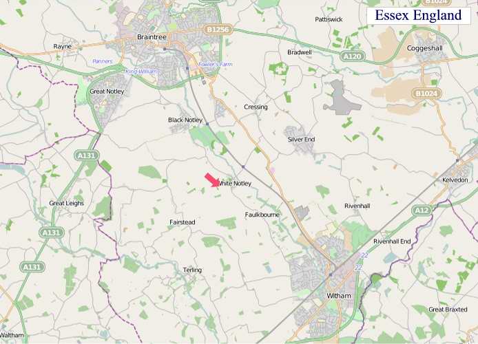
A map of Essex, England
Essex Maps
I hope you like the Essex County, England street map / road map situated above.
If you like our website, please consider adding a link to the site. These links help to build website traffic and they are considered a vote of confidence for a site.
Essex
Essex is a county in the east of England, north-east of London. One of the home counties, it borders Suffolk and Cambridgeshire to the north, Hertfordshire to the west, Kent across the estuary of the River Thames to the south and London to the south-west. The county town is Chelmsford, the only city in the county. For the purposes of government statistics, Essex is placed in the East of England region.
There are four definitions of the extent of Essex, the widest being the ancient county. Next largest is the former postal county, followed by the ceremonial county with the smallest being the administrative county - the area administered by the County Council, which excludes the two unitary authorities of Thurrock and Southend-on-Sea and the areas administered by the Greater London Authority.
The ceremonial county occupies the eastern part of what was, during the Early Middle Ages, the Kingdom of Essex. As well as rural areas, the county also includes London Stansted Airport, the new towns of Basildon and Harlow, Lakeside Shopping Centre, the port of Tilbury and the borough of Southend-on-Sea.
Physical geography and boundaries
The ceremonial county of Essex is bounded by Kent, south of the Thames Estuary; Greater London to the south-west; Hertfordshire, broadly west of the River Lea and the Stort ; Cambridgeshire to the northwest; Suffolk broadly north of the River Stour; with the North Sea to the east.
Definitions
The county of Essex has four definitions; the Ancient, Ceremonial, Administrative and Postal Counties.
From Wikipedia, the free encyclopedia
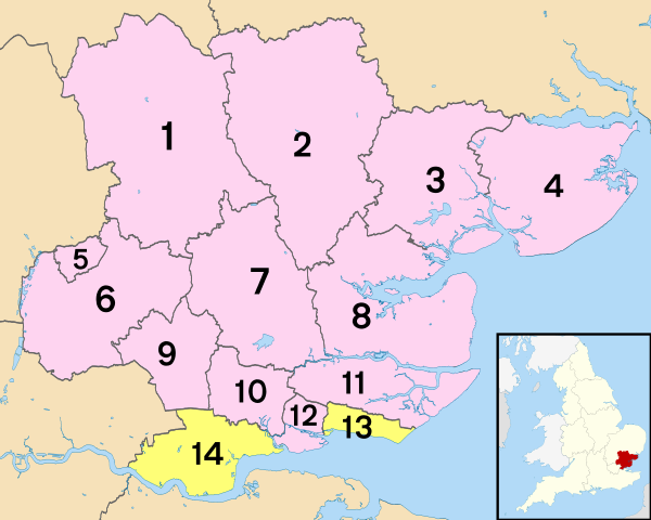
1 - Uttlesford
2 - Braintree
3 - Colchester
4 - Tendring
5 - Harlow
6 - Epping Forest
7 - City of Chelmsford
8 - Maldon
9 - Brentwood
10 - Basildon
11 - Rochford
12 - Castle Point
13 - Southend-on-Sea
14 - Thurrock
"© OpenStreetMap contributors, CC BY-SA".


