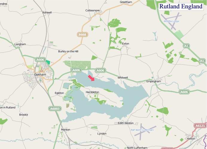
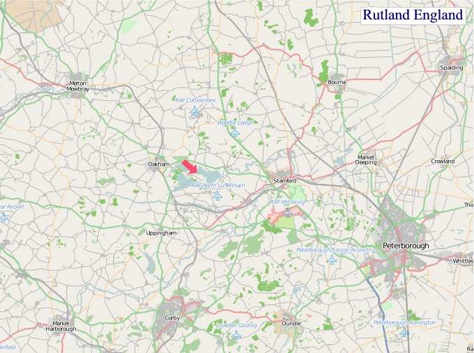
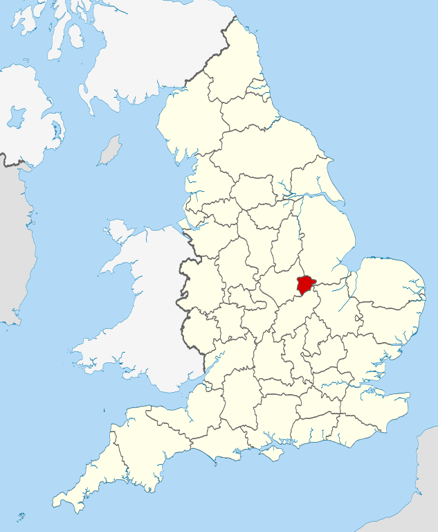
A large detailed map of Rutland, England
Explore Rutland with an interactive map featuring Street View, satellite and terrain views. Live weather, local news and location details for Rutland — plus links to detailed street maps for cities, towns, villages and hamlets across the county.
Rutland County Map
Map search is available for a limited number of queries per session to manage costs. Be specific — search precisely for best results.
| County Town | Oakham |
| Region | East Midlands |
| Country | England |
| Status | Unitary authority |
| Area | 394 km² |
| Population | 43,000 |
| Latitude | 52.6504 |
| Longitude | -0.6515 |
| Cities & Towns | 57 |
| Locality Maps | Locality Maps |
About Rutland
Gentle undulations define Rutland's soft terrain, a landscape sculpted by time and water, where the River Welland and the River Gwash meander through verdant valleys. No dramatic cliffs or roaring coastlines here, but rather a subtle beauty of rolling hills, like those near Oakham and Uppingham, that cradle hidden hamlets and ancient woodlands, exuding a quiet, pastoral grace. The presence of Rutland Water, a vast shimmering expanse, adds a unique aqueous dimension, mirroring the wide skies and offering a tranquil counterpoint to the land's inherent stillness. This is a country of subtle gradients and muted colours, a place where the earth breathes a slow, steady rhythm.
Echoes of Roman occupation linger in the faint traces of roads and settlements, a testament to the enduring presence of human endeavour in this compact shire. Later, Norman lords erected imposing castles and abbeys, their stone foundations whispering tales of feudal power and monastic contemplation, with Oakham Castle standing as a stoic sentinel of this era. The Civil War saw skirmishes and strategic importance, though the county largely escaped the most brutal devastation, allowing its agricultural heritage to flourish uninterrupted through the centuries. Modern Rutland, while embracing progress, remains deeply connected to its historical roots, a continuity evident in its well-preserved architecture and enduring village structures.
Primarily, agriculture has long been the lifeblood of Rutland, its fertile soils yielding bountiful harvests and supporting generations of farming families. Pastoral farming, especially sheep and cattle rearing, is prevalent, contributing to the quintessential rural scene. While heavy industry is absent, a more nuanced economic tapestry exists, encompassing artisanal food production, small-scale manufacturing, and a growing tourism sector drawn to its unspoilt character. The county’s embrace of renewable energy, particularly wind power on its higher ground, signifies a forward-looking approach to its economic future, balancing tradition with innovation.
A certain quiet tenacity characterises the people of Rutland, an understated pride in their distinctive identity as England's smallest county. Their way of life remains rooted in community spirit, evident in the vibrant village fetes and local traditions that endure. While not a hotbed of avant-garde artistic movements, Rutland fosters a deep appreciation for the arts, with local galleries and performance spaces nurturing talent and showcasing regional creativity. The spirit of individuals like the pioneering physicist Ernest Rutherford, who spent formative years here, hints at a capacity for quiet brilliance emerging from this unassuming corner of England.
Rutland Maps
"© OpenStreetMap contributors, CC BY-SA".
From Wikipedia, the free encyclopedia
Rutland City and Town Maps
B
C
E
G
K
L
M
O
R
S
T
W
Rutland Maps — Interactive Map, Street View, Weather & News
This page provides an interactive Google map of Rutland, England with Street View, satellite and terrain views, alongside links to detailed street maps for cities, towns, villages and hamlets across the county. Rutland sits within the East Midlands region.
Every locality map page includes an embedded street and satellite map together with live weather where available — current conditions with hourly and 7-day outlooks powered by Open-Meteo. Local and world news feeds — including BBC News — keep pages current, and Wikipedia summaries provide additional local context.
Location data is sourced from OS Open Names © Crown copyright and database rights 2024, Ordnance Survey, Open Government Licence v3.0, and verified by coordinates rather than name matching alone.