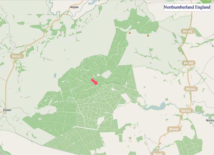
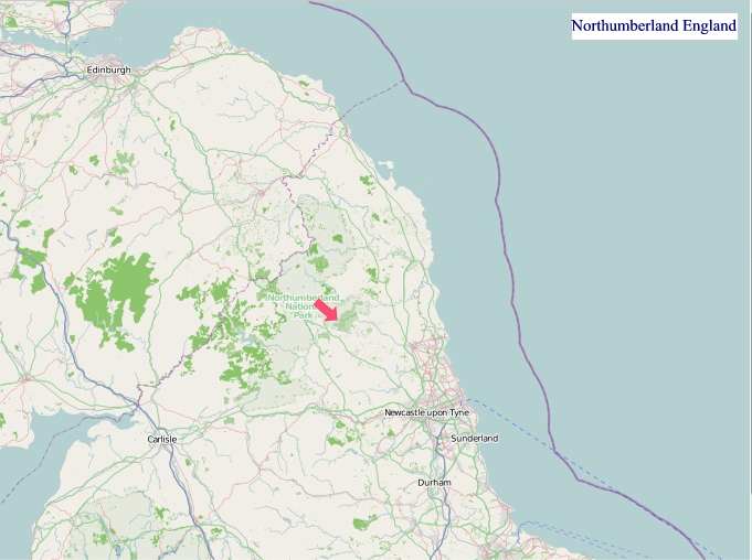
A large detailed map of Northumberland, England
Explore Northumberland with an interactive map featuring Street View, satellite and terrain views. Live weather, local news and location details for Northumberland — plus links to detailed street maps for cities, towns, villages and hamlets across the county.
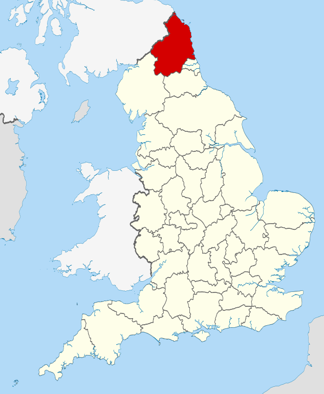
Northumberland County Map
Map search is available for a limited number of queries per session to manage costs. Be specific — search precisely for best results.
| County Town | Morpeth |
| Region | North East England |
| Country | England |
| Status | Unitary authority |
| Area | 5,013 km² |
| Population | 320,000 |
| Latitude | 55.2206 |
| Longitude | -1.9043 |
| Cities & Towns | 489 |
| Locality Maps | Locality Maps |
About Northumberland
Azure skies often arch over a terrain sculpted by ancient forces, where the Cheviot Hills rise with a gentle, heather-clad majesty, their slopes descending towards the broad, sweeping valleys carved by the Tyne and the Coquet. The coastline unfurls in a dramatic tapestry of golden sands, sheer sea cliffs, and islands like the Farne, where the ceaseless murmur of the waves provides a perpetual soundtrack to the wild, untamed beauty. This is a land of stark contrasts, where the soft contours of the interior yield to the rugged grandeur of the North Sea, a place where nature's artistry is displayed in its most elemental and evocative forms.
Echoes of empires resonate across this ancient landscape, from the enduring might of Hadrian's Wall, a testament to Roman ambition, to the grim fortresses like Bamburgh and Alnwick that guarded against northern incursions. Generations have witnessed the ebb and flow of power, from the fierce independence of the Border Reivers to the consolidation under the English crown, each era leaving its indelible mark upon the stones and soil. The memory of monastic foundations and the fierce loyalty to local lords still permeates the air, whispering tales of resilience and survival through centuries of change.
A pastoral rhythm underpins the region's enduring economy, where vast tracts of fertile land support a thriving agricultural sector, producing fine livestock and hardy crops. Beyond the fields, the legacy of coal mining, though diminished, still colours the industrial heritage, while modern enterprises in manufacturing and renewable energy, particularly offshore wind, are charting new courses. The spirit of innovation, coupled with a deep respect for traditional crafts, continues to shape the economic fabric of towns like Ashington and Cramlington, fostering a sense of purposeful endeavour.
Stalwart and genial, the people of Northumberland possess a distinctive character forged by the elements and their storied past, their accents carrying a melodic lilt that speaks of generations rooted in this soil. A strong sense of community and a love for their heritage are evident in the vibrant festivals and the enduring traditions, from the woolly jumpers of the Borders to the hearty fare served in cosy inns. The artistic spirit finds expression in the evocative landscapes captured by local painters and the lyrical poetry inspired by the wild, windswept moors, reflecting a profound connection to this unique corner of England.
Northumberland Maps
"© OpenStreetMap contributors, CC BY-SA".
From Wikipedia, the free encyclopedia
Northumberland City and Town Maps
A
B
C
D
E
F
G
H
J
K
L
M
N
O
P
R
S
T
U
W
Northumberland Maps — Interactive Map, Street View, Weather & News
This page provides an interactive Google map of Northumberland, England with Street View, satellite and terrain views, alongside links to detailed street maps for cities, towns, villages and hamlets across the county. Northumberland sits within the North East England region.
Every locality map page includes an embedded street and satellite map together with live weather where available — current conditions with hourly and 7-day outlooks powered by Open-Meteo. Local and world news feeds — including BBC News — keep pages current, and Wikipedia summaries provide additional local context.
Location data is sourced from OS Open Names © Crown copyright and database rights 2024, Ordnance Survey, Open Government Licence v3.0, and verified by coordinates rather than name matching alone.