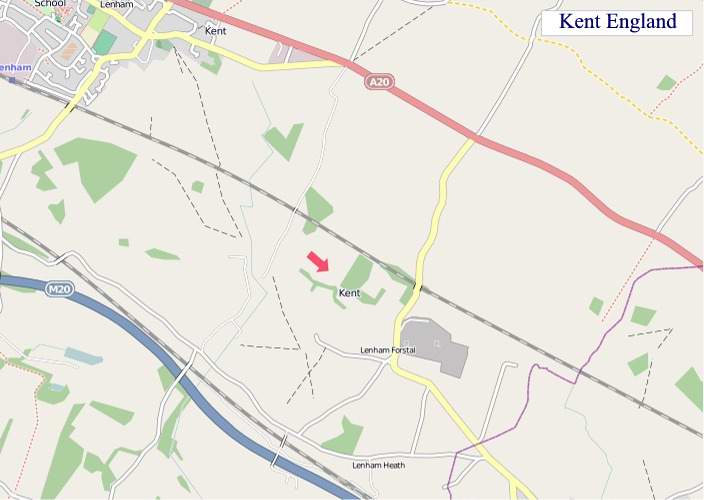
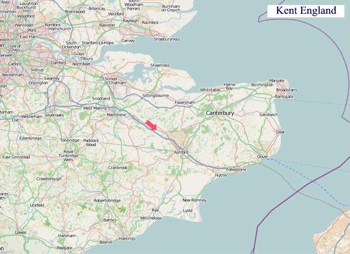
A large detailed map of Kent, England
Explore Kent with an interactive map featuring Street View, satellite and terrain views. Live weather, local news and location details for Kent — plus links to detailed street maps for cities, towns, villages and hamlets across the county.
Kent County Map
Map search is available for a limited number of queries per session to manage costs. Be specific — search precisely for best results.
| County Town | Maidstone |
| Region | South East England |
| Country | England |
| Status | Ceremonial county |
| Area | 3,736 km² |
| Population | 1,870,000 |
| Latitude | 51.2443 |
| Longitude | 0.7374 |
| Cities & Towns | 1,265 |
| Locality Maps | Locality Maps |
About Kent
Undulating chalk downs, like the gentle brows of sleeping giants, define Kent's verdant heart, their slopes often softened by ancient woodland and the meandering silver threads of rivers such as the Medway and the Stour. Where the land yields to the sea, chalky cliffs, stark and commanding like Dover's sentinel presence, plunge into the restless grey waters of the English Channel, their rugged beauty a testament to aeons of tidal sculpting. The Weald, a vast, ancient forest now largely tamed by agriculture, still whispers of its wilder past, its low-lying plains a patchwork of hop fields and orchards, a landscape both enduring and subtly dramatic.
Echoes of empires past resonate through Kent's soil, a land where Roman legions marched and Saxon kingdoms rose and fell, its strategic position making it a perpetual frontier. Canterbury, a spiritual beacon since Augustine's arrival, bears witness to centuries of pilgrimage and profound historical moments, its cathedral a monument to faith and architectural grandeur. The Norman Conquest left its indelible mark in stone fortresses, while the Tudor era saw the flourishing of naval power from its southern ports, and even the Blitz left scars that speak of resilience and defiance.
Agriculture, the lifeblood of Kent for centuries, continues to thrive, its fertile soils yielding an abundance of fruit, particularly apples and cherries, alongside the distinctive hop cones that once cloistered its oast houses. Manufacturing, particularly in the Medway towns, has evolved from shipbuilding to more modern industries, though the legacy of robust engineering persists. The county's proximity to London and its excellent transport links have also fostered a vibrant service sector and attracted a diverse range of enterprises, contributing to its dynamic economic tapestry.
Kentish folk, often characterised by a pragmatic resilience and a deep connection to their land, possess a quiet pride in their heritage, a spirit that has weathered invasions and industrial shifts alike. Traditions, from the vibrant agricultural shows that celebrate the harvest to the enduring appeal of the seaside towns, form a colourful thread in the fabric of daily life. Artists and writers, such as J.M.W. Turner, whose canvases captured the dramatic light over the Thames estuary, and Charles Dickens, who found inspiration in its villages, have long been drawn to its distinctive character and picturesque vistas.
Kent Maps
"© OpenStreetMap contributors, CC BY-SA".
Districts of Kent

1 - Sevenoaks
2 - Dartford
3 - Gravesham
4 - Tonbridge and Malling
5 - Medway
6 - Maidstone
7 - Tunbridge Wells
8 - Swale
9 - Ashford
10 - City of Canterbury
11 - Folkestone and Hythe
12 - Thanet
13 - Dover
From Wikipedia, the free encyclopedia
Kent City and Town Maps
A
B
C
D
E
F
G
H
I
K
L
M
N
O
P
R
S
T
U
W
Y
Kent Maps — Interactive Map, Street View, Weather & News
This page provides an interactive Google map of Kent, England with Street View, satellite and terrain views, alongside links to detailed street maps for cities, towns, villages and hamlets across the county. Kent sits within the South East England region.
Every locality map page includes an embedded street and satellite map together with live weather where available — current conditions with hourly and 7-day outlooks powered by Open-Meteo. Local and world news feeds — including BBC News — keep pages current, and Wikipedia summaries provide additional local context.
Location data is sourced from OS Open Names © Crown copyright and database rights 2024, Ordnance Survey, Open Government Licence v3.0, and verified by coordinates rather than name matching alone.